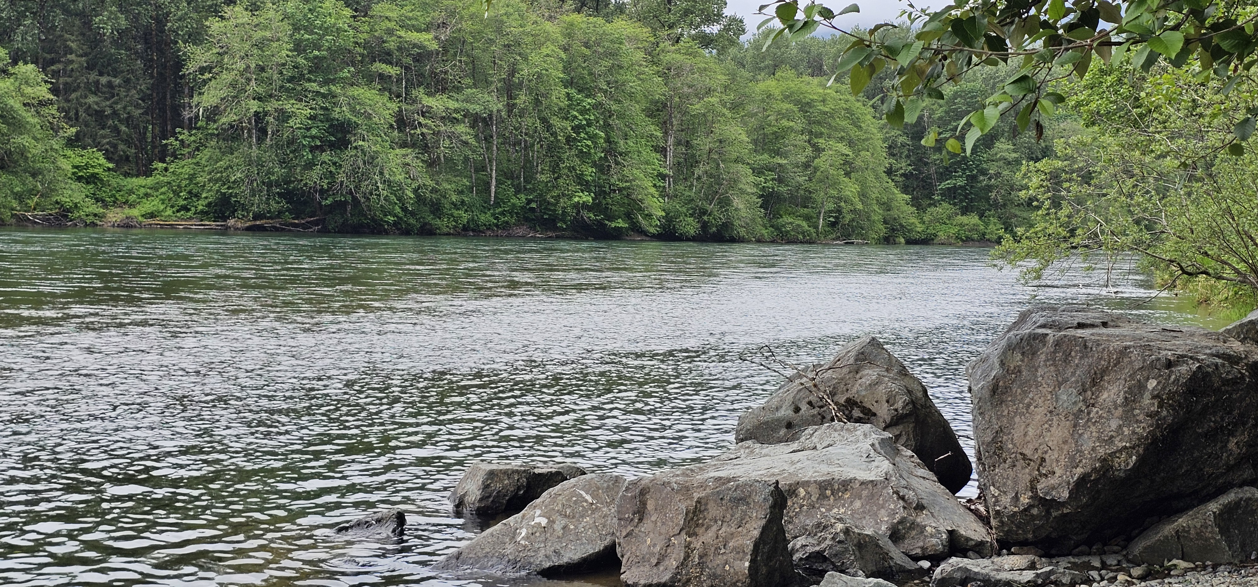

Below is a link to a Youtube video I put together on the Skagit River. A second link is to a Youtube video about migratory birds, most of which was videoed where the river divides north and south draining into the Salish Sea.
The Skagit, I find out, is head watered up in the Canadian Cascades and fed by some 300 glaciers. A river of formidable size and volume, snakes through the North Cascades interrupted by three hydroelectric dams; Gorge Dam, Diablo Dam, and Ross Dam. Behind these dams are huge lakes enjoyed for recreation. The electricity produced by these dams goes directly to the city of Seattle. About 20% of the city’s electricity needs are met by these dams.
As the river flows westward, fed by some 3,000 tributaries, it enters the flatlands of the Skagit Valley producing some of the most fertile soil in the country. The most famous crop are tulips. Tulips draw the tourists to the town of Mount Vernon rain or shine each April. The area is also big on vegetable seed production and certain crops including strawberries, raspberries, and blueberries.
As it crosses Interstate 5, the river splits into north and south forks. The distance between these two forks is roughly 10 miles at the point it reaches the Salish Sea. Throughout this area are numerous estuaries, sloughs, and dikes attracting wintering waterfowl by the thousands. Additionally, food scraps from the farms provide a tempting delicacy to these traveling birds.
The first Youtube video was shot mostly at Rasar State Park and the upriver town of Rockport, Wa known for winter bald eagle viewing. Link here.
This is a birding video shot mostly on the Samish flats and elsewhere in Skagit and Snohomish counties. Link here.
Leave a Reply